To the dark matter and dark energy mysteries, we can now add dark flow...
NASA’s Sasha Kashlinsky discovered a twenty degree patch of sky between Centaurus and Vela to which 700 X-ray clusters are being pulled at 611 miles per second. The significance of this is that it contradicts predictions that large-scale motion should show no preferred direction and that the motions should decrease at ever increasing distances. Kashlinsky posits that the source of the pull is "outside the currently observable universe".
I mention this because this gives us a patch of sky to which we can point our software-defined radios and perhaps observe something interesting.

The limitation is that our radios have to either be space-borne or in the Southern Hemisphere to get in on the action. Also this "dark flow' patch occurs out of the range of the Ukrainian radio telescope data visualized in a previous post:

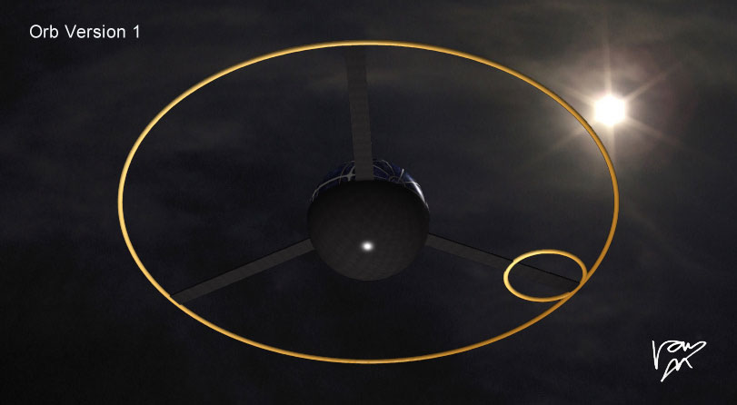
It is my hope to create a network of Orbs - Soft Radios that can cooperate to locate celestial signals. Orbs are wide-band radios that downlink to the web using TCP/IP 802.11 protocols. Orbs talk to each other to using ham, astronomy, and ISM bands in real time. Their locations in space time is computed using GPS-disciplined internal oscillators.
